Severn Tree Removal has handled tree removal in Pasadena for more than 20 years, and here the first question is never how the tree comes down. It is whether the parcel sits inside the Chesapeake Bay Critical Area, because that one answer changes the paperwork, the schedule and the number on the estimate.
We settle it before we quote rather than after. The estimate visit is free, the scope is written down before a crew is booked, and permit routing is handled ahead of scheduling — five counties and four towns answer these questions differently, and Anne Arundel County answers them more strictly along tidal water than almost anywhere else we work.
What follows is how the Critical Area lands on an ordinary Pasadena lot, and what an approved Vegetation Management Plan actually requires of the owner. It also covers why a standing dead tree near the shoreline is not the straightforward job most people expect it to be.
In Pasadena the Critical Area Is the Starting Assumption
Under Natural Resources Article Sec. 8-1807(a), any address within 1,000 feet landward of tidal water or tidal wetlands sits inside the Chesapeake Bay Critical Area. This community is a peninsula with tidal water on three sides, so that thousand-foot band is the ordinary condition of a lot here rather than a fringe case along the water’s edge.
All four mapped classes appear inside the community
Intensely Developed Area, Limited Development Area, Resource Conservation Area and Federal land are all present within the Pasadena CDP. Which class a parcel carries changes what clearing is allowed and what mitigation is owed, so two neighbors on the same road can be working under genuinely different limits.
We confirm the class from county mapping instead of guessing it from the street. Lots that feel thoroughly inland still measure inside the band, because the creeks reach much further into the peninsula than a road map suggests.
The creeks are what put a back yard inside the line
Pasadena drains to the tidal Patapsco and to the Magothy River, and carries a long roster of named tidal subwatersheds: Rock Creek, Stony Creek, Nabbs Creek, Cox Creek, Curtis Creek, Swan Creek, Nannys Creek, Muddy Run, Bailys Branch and Magothy River Tidal among them. Residents locate themselves by those creek names, and so does the Critical Area boundary.
A tidal creek head can sit several streets from open water, which is how a yard with no view of the Bay still falls within the thousand feet. The measurement decides the job; the view does not.
What the classification changes about a quote
Inside the Critical Area a removal is a conditioned activity, not a same-week booking. We price the review time and the plan work into the estimate rather than discovering it halfway through, and we say plainly which parts of the calendar the county controls and which parts we do.
There is real money behind that caution. Clearing done without a required grading permit or approval, or beyond an allowed limit, is replanted at three times the cleared area, or three times the number of individual trees cleared, or a fee is paid instead.
Looking for tree removal closer to Baltimore Highlands? See Tree Removal Services in Baltimore Highlands.
The Buffer and What It Forbids Without a Plan
The Buffer is the 100-foot strip landward of tidal water and tidal wetlands, and it is the most tightly governed ground on a waterfront property. Anne Arundel County requires an approved Vegetation Management Plan before vegetation inside it is cut, pruned or removed at all.
The plan covers pruning, not only felling
The requirement reaches all activity other than farming, gardening or maintaining an existing grass lawn, wherever vegetation is cut, pruned or removed inside a Critical Area buffer, an expanded buffer, a Forest Conservation Easement or a Bog Protection Area. Crown reduction and crown thinning on a shoreline tree sit inside that language just as squarely as a full removal.
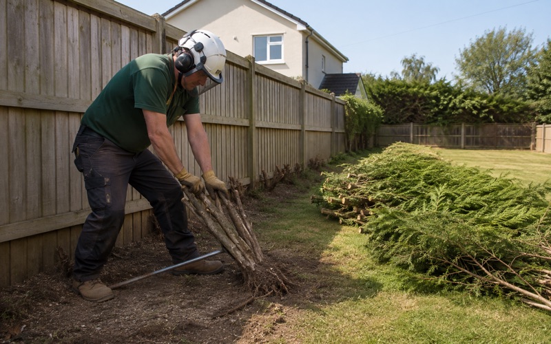
The county also rebuts a belief we hear constantly on waterfront lots — that stems under 4 inches across are exempt. They are not, and clearing understory ahead of a crew’s arrival is one of the more common ways an owner creates a violation before anyone has started work.
Clearing caps and the mitigation that follows
A pre-1985 half-acre Critical Area lot carries a clearing cap of 6,534 square feet, with mitigation at 1.5 times. That cap matters most where a previous owner already took vegetation out, because it is a property-level budget rather than a fresh allowance handed to each new job.
So we ask what has come down in recent years before we scope anything. A straight answer there is worth more than any estimate, since mitigation planting is a real cost that belongs in the written quote rather than arriving as a surprise afterward.
Who reviews it, and who is allowed to do the work
Review runs through the Anne Arundel County Department of Inspections and Permits, Forestry Program, reachable at (410) 222-7441 or forestry@aacounty.org. The county states plainly that contracted tree removal or pruning may only be performed by a Maryland Licensed Tree Expert.
State law says the same thing. Natural Resources Article Sec. 5-417(a)(1) requires a license to perform tree care for hire, and COMAR 08.07.07.03D makes a written contract carrying the license number mandatory. Ask any bidder for that number before a saw comes off the truck.
A Dead Tree in the Buffer Is Still a Buffer Job
The misunderstanding we correct most often in Pasadena involves standing dead wood. The Vegetation Management Plan requirement applies to dead trees inside the Buffer exactly as it applies to living ones, so a hazard tree on a shoreline lot goes through the county before it goes through a saw.
The exemption owners expect is not in the rule
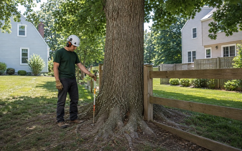
Someone looking up at a dead ash reasonably assumes the hazard cancels the paperwork. It does not — the plan requirement reaches dead material in the Buffer, and on a waterfront lot the safe assumption is that approval comes first. Where a tree presents an immediate danger, that urgency is something to raise with the county rather than a reason to work around it.
We would far rather have that conversation at an estimate than at a stop-work order. A second look at a tree you are unsure about costs nothing, which makes an early call cheap even when the answer is that nothing needs to come down yet.
Ash, and why the clock runs against you
Emerald ash borer has been established in Maryland since 2003 and kills a large ash within about three years, leaving brittle standing wood behind. Brittle is the operative word: a dead ash sheds limbs unpredictably and will not take a climber’s weight the way sound timber does.
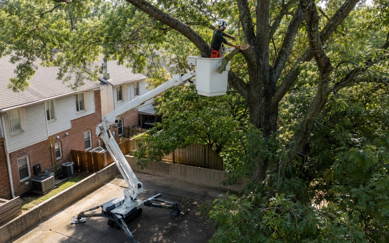
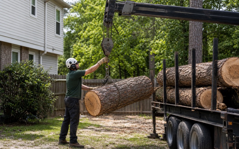
A tree degrading on its own schedule and a review process running on the county’s is the whole argument for starting the plan while the tree is merely declining. We size the work to the wood as we find it, using sectional dismantling and, where there is no drop zone to fell into, a crane.
Disposal carries its own rules
Maryland’s spotted lanternfly quarantine regulates moving logs, stumps, firewood, yard waste and other tree parts. Lanternfly does not kill trees, but it governs where the debris from your job may legally travel, which is a haul-away constraint rather than a tree-health one.
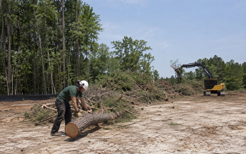
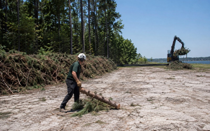
County curbside collection is no answer either. It takes limbs under 4 feet long and 4 inches thick, in bundles under 40 pounds, and will not collect logs. Every removal we write settles the debris up front — brush chipped, trunk rounds, stump and grindings all named in the scope before the crew is booked.
Timing and Access on a Waterfront Removal
With a plan approved, the practical constraints on a Pasadena job are ground, access and weather, roughly in that order. None of the three behaves the way the sandier ground elsewhere in the county does.
The soil here runs to clay
A nine-point sample across the community returned the Russett-Christiana-Hambrook complex, 0 to 5 percent slopes, at five of the nine points. Christiana is a heavy kaolin clay, and both dominant series carry the Aquic qualifier, meaning a seasonal water table sitting inside the profile.
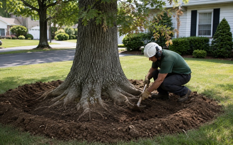
Wet subsoil is what we actually schedule around. Stump holes hold water, grinder spoil comes out heavy and sticky, and tracked equipment marks a lawn worse after rain than sandier ground would predict — which is why protection matting goes down on every job instead of on request.
One sample point fell in Sassafras and Croom soils on 15 to 25 percent slopes, the gravelly ground of the ravine sides running down toward the creeks. Gravel is hard on grinder teeth, and that grade limits where a machine can be set at all. Two other points returned Patapsco-family sands, so the soil under a given address should never be assumed from the town.
Access is usually the real constraint
Bulkheads, community piers, septic fields on older shoreline lots and narrow shared lanes down to the water decide where a crane can sit and where a truck can turn around. On these properties the debris route limits the day more often than the felling itself does.
Our compact tracked equipment is sized to pass a standard back-yard gate, which settles a fair number of lots here without a crane at all. Where it will not, we say so at the estimate, because a crane changes both the schedule and the price.
On community-owned land, beaches and shared rights-of-way the decision-maker may not be an individual owner at all. Three Special Community Benefit Districts hold parcels inside the community — Magothy Forge, Queens Park and Stone Haven — and county code requires each to be administered by an incorporated civic or community association open to every property owner in the district.
Weather windows differ by shoreline
Marine forecast zones split around the peninsula. A point off the Rock Creek shoreline falls in ANZ538, Patapsco River including Baltimore Harbor, while open water east of the community falls in ANZ531, Chesapeake Bay from Pooles Island to Sandy Point. Small craft and marine wind products for the two sides are issued separately, which matters when we judge exposure on a windy shoreline job.
On land the community sits in National Weather Service public forecast zone MDZ014, forecast county-wide from the Baltimore/Washington office, so the land product cannot tell you which shore is taking the wind. The weather that actually drops trees here is summer convective: in late July 2026 the Weather Service confirmed an EF-1 with 100 mph winds near Patapsco Road in Lake Shore and an EF-0 with 85 mph winds in Riviera Beach, both Pasadena-addressed communities on this peninsula, with downed trees and power lines reported widely across the county.
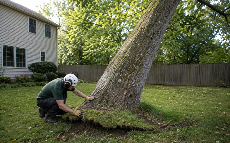
We answer storm calls within 24 hours for fallen trees and for trees resting on a structure. Where a line is involved, BGE makes the clearance cut but does not remove the wood afterward — report a downed line to 1-877-778-2222 and a limb resting on a line to 1-800-685-0123, and we will clear what is left.
- 20+ Years in Anne Arundel County
- Free On-Site Estimates
- 24-Hour Storm Response